루즈벨트섬(맨해튼)=민지영기자 newsrohny@gmail.com
뉴욕을 ‘동부의 실리콘 밸리’로 만들겠다는 뉴욕시 정부의 야심 찬 꿈이 담긴 코넬 테크는 환경과 풍치 면에서도 세계 최고의 캠퍼스로 각광받고 있다.
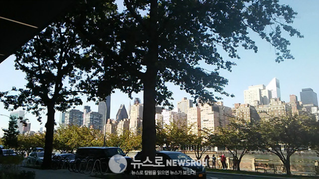
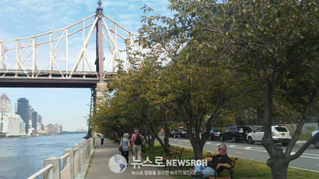
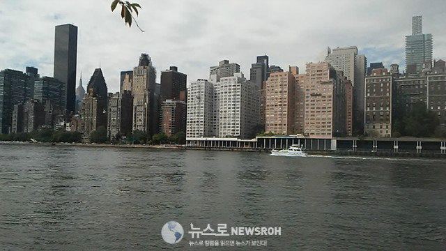
서쪽으로는 맨해튼 마천루를 코 앞에 두고 동쪽은 퀸즈, 남쪽은 브루클린 등 숨막힐듯한 마천루(摩天樓)의 위용과 아름다운 녹지공간을 동시에 감상 할 수 있다.
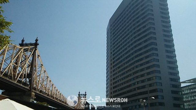
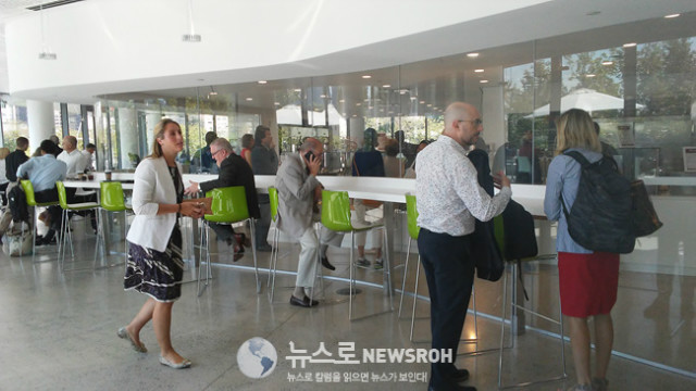
세련되고 독창적인 디자인의 빌딩들은 각 층마다 시원한 통유리로 경관(景觀)을 즐기도록 하였고 전망대는 360도 파노라마 뷰를 자랑한다. 이날 기념식에 참석한 관계자들과 기자들도 한동안 넋을 잃고 바라볼 정도였다.
교통도 편리하다. 맨해튼과 퀸즈를 오가는 지하철 F라인이 이 섬에 정차하고 맨해튼의 명물인 케이블카 빨간색 트램이 맨해튼 2애버뉴 60스트릿과 이곳을 운행한다. 평소에도 많은 관광객들이 케이블카를 타고 루즈벨트섬을 보러 넘어 오는 모습을 볼 수 있다.
루즈벨트 섬에선 어디서나 멋진 전망이 가능하다. 야간에는 맨해튼을 향하면 환상적인 야경을, 퀸즈로 돌아보면 고즈넉한 풍치를 느낄 수 있다. 한마디로 눈을 돌리는 곳마다 감탄사가 나오는 ‘도심의 절경(絶景)’이라 해도 과언이 아니다.
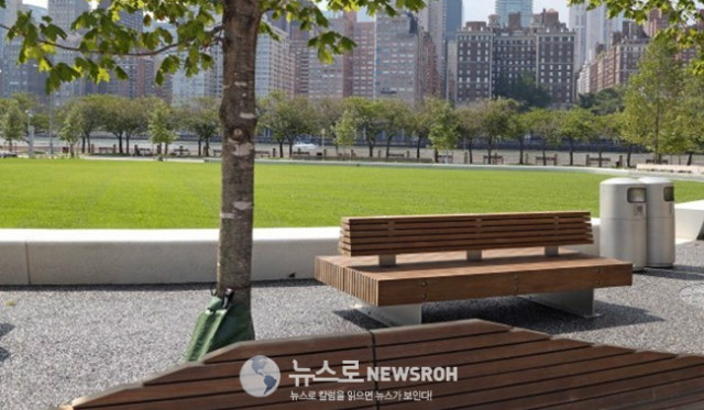
캠퍼스를 따라 강변으로 난 산책로 ‘테크 워크’엔 걷다가 쉴 수 있는 벤치들이 곳곳에 있고 벚나무 등이 심어져 봄에는 환상적인 벚꽃 구경도 할 수 있다.
코넬 테크 캠퍼스는 앞으로도 계속 진화하게 된다. 2043년까지의 마스터 플랜이 있기 때문이다. 2019년까지 추가 연구빌딩인 버라이즌 센터와 197개의 객실을 갖춘 그레이트 루즈벨트 아일랜드 호텔도 들어설 예정이다.
또한 이스트 리버 한가운데서 맨해튼과 퀸즈 사이에 위치한 캠퍼스의 장점을 최대한 살려 도심과 녹지가 조화로운 이상향(理想鄕)으로 꾸민다는 계획이다. 특히 2.5에이커의 탁 트인 녹지공간은 아웃도어 학생과 교직원은 물론, 인근 주민, 뉴욕 시민, 관광객들도 함께 즐기는 시설을 갖추게 된다.
루즈벨트 섬은 동서의 폭이 약 800피트(240m)로 좁고, 남북으로 약 2마일(3.2km)의 기다란 섬이다. 남쪽 끝은 맨해튼 46가, 북쪽 끝은 85가 위치만큼 뻗어있다.
2010년 인구센서스 기준으로 1만1천여명의 주민이 있고 아파트, 병원 등과 함께 초중고등학교도 하나씩 있다. 대부분 임대 아파트로 유엔주재 북한대표부 대사와 직원 가족들이 이곳에 거주하고 있다.
이 섬은 영국보다 먼저 진출한 네덜란드인들이 미네하농크로 부르던 것을 영국 식민지시절 블랙웰 섬이 되었다. 1921년부터 50년간 이곳에 있는 병원들때문에 ‘웰페어 아일랜드’라는 애칭이 있었다. 1971년 프랭클린 루즈벨트 대통령을 기리기 위해 루즈벨트 섬으로 바뀌었다.
글로벌웹진 NEWSROH www.newsroh.com
<꼬리뉴스>
Roosevelt Island’s Trolly and Tram
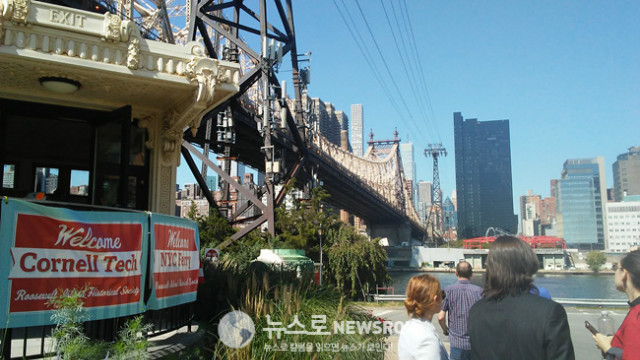
Although Roosevelt Island is located directly under the Queensboro Bridge, it is not directly accessible from the bridge itself. A trolley used to connect passengers from Queens and Manhattan to a stop in the middle of the bridge, where passengers took an elevator down to the island. The trolley operated from the bridge's opening in 1909 until April 7, 1957. Between 1930 and 1955, the only vehicular access to the island was provided by an elevator system in the Elevator Storehouse that transported cars and commuters between the bridge and the island. The elevator was closed to the public after the construction of the Roosevelt Island Bridge between the island and Astoria in Queens in 1955; the elevator was demolished in 1970, but a similar elevator ran from the Queensboro Bridge to the island as late as 1973.
In 1976, the Roosevelt Island Tramway was constructed to provide access to Midtown Manhattan. The tram was closed from March to November 2010, during which all of the components of the tramway, except for the tower bases, were replaced.
New York City Subway access to the rest of Manhattan and to Long Island City in Queens via the IND 63rd Street Line began in 1989, but access to the rest of Queens did not start until 2001. Located more than 100 feet (30 m) below ground level, the Roosevelt Island station (F train) is one of the deepest stations below sea level in the New York City Subway system.
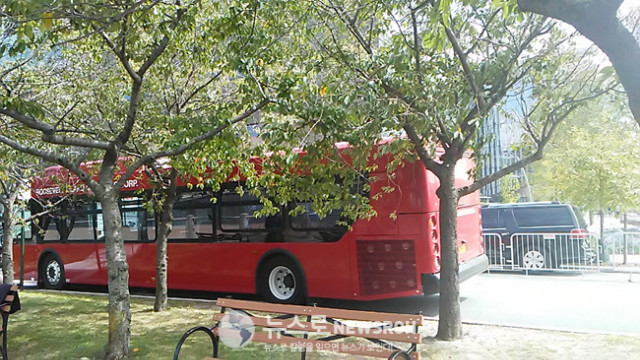
Roosevelt Island's residential community was not designed to support automobile traffic during its planning in the early 1970s. Automobile traffic has become common even though much of the island remains a car-free area. MTA Bus's Q102 route, operating between the island and Queens, obviates the need for automobiles to some extent. However, RIOC operates the Red Bus, a free on-island shuttle bus service, using easily visible bright red buses, that competes directly with the Q102 and connects apartment buildings to the subway and tramway.
Roosevelt Island has been served by NYC Ferry's Astoria route[32] since August 2017. (www.en.wikipedia.org)

 뉴욕 :
뉴욕 :  파리 :
파리 :  서울 :
서울 :